
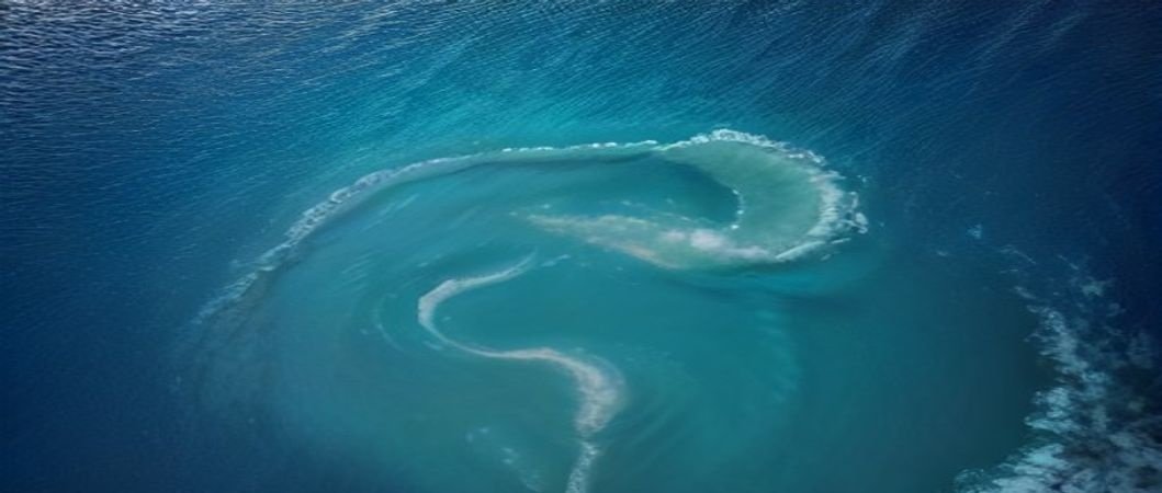
In a groundbreaking effort to protect its vast marine resources, the Australian government has announced the completion of a comprehensive seabed mapping project. Spanning over 11 million square kilometers, the project has charted the country’s expansive ocean floor, providing invaluable insights into the marine ecosystem and its potential for sustainable development. The project, conducted in collaboration with leading research institutions and industry partners, employed cutting-edge technology, including advanced sonar and LiDAR systems, to create a highly detailed topographic map of the seafloor.
The historic achievement marks a significant milestone in Australia’s commitment to preserving its marine environment and promoting eco-friendly practices. By gaining a deeper understanding of the seabed’s complex geography and the diverse species that inhabit it, researchers and policymakers can now develop more effective conservation strategies and inform decision-making processes related to offshore energy production, fishing, and tourism. The project’s findings are expected to have far-reaching implications for the country’s long-term environmental sustainability and economic growth.
The Australian government has emphasized the importance of the seabed mapping project in maintaining the country’s position as a global leader in marine conservation and innovation. The project’s outcomes will be shared with international partners and made available to the public, contributing to the global effort to protect our planet’s precious oceans and their resources. As the world grapples with the challenges of climate change, overfishing, and habitat destruction, Australia’s pioneering initiative serves as a beacon of hope for a more sustainable future.